How to Navigate Using Traditional Map and Compass
In an age of GPS and smartphone apps, traditional map and compass navigation might seem old-fashioned. However, these skills remain invaluable for outdoor enthusiasts, particularly when venturing into remote areas where battery life is unreliable and signal coverage fails.
Learning to navigate with map and compass gives you independence and confidence in the hills. It's also surprisingly straightforward once you understand the basic principles.
Understanding your map
UK Ordnance Survey maps are the standard for outdoor navigation. The 1:50,000 scale shows sufficient detail for most walking, whilst 1:25,000 maps provide greater detail for complex terrain. Every map displays grid lines running north-south and east-west, creating a reference system. Learn to read grid references—these six-figure numbers pinpoint your exact location.
Pay attention to contour lines, which show elevation. Closely spaced lines indicate steep terrain, whilst widely spaced lines suggest gentler slopes. Understanding contours helps you plan routes and anticipate difficulty.
Using your compass
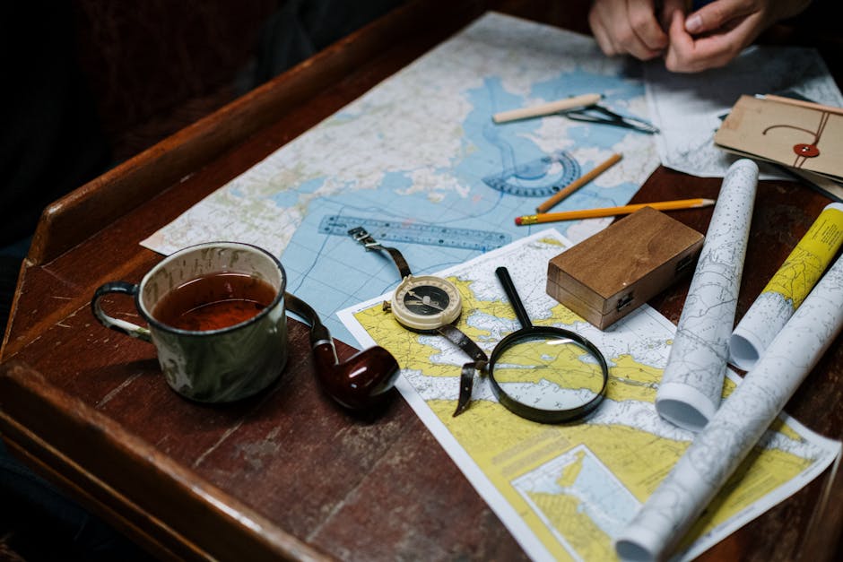
A basic orienteering compass comprises a magnetic needle, a rotating bezel marked in degrees, and a baseplate with direction-of-travel lines. The magnetic needle always points north, but this differs from grid north on UK maps by a small amount (currently about 2-3 degrees west). Most compasses include adjustment for this declination.
To take a bearing from the map: place your compass baseplate on the map with the direction-of-travel line pointing toward your destination. Rotate the bezel until the grid lines align with the map's grid lines. Read the bearing number at the index point. Hold the compass flat and rotate your body until the magnetic needle aligns with the orienting lines inside the bezel. The direction-of-travel line now points toward your destination.
Finding your location
Triangulation helps identify your position. Take bearings to three visible landmarks, then reverse each bearing (add or subtract 180 degrees). Draw lines from these landmarks on your map using your compass. Your location lies where these lines intersect.
Practical tips
- Always carry a map and compass, even on familiar routes
- Check your bearing regularly, especially in poor visibility
- Pace counting helps track distance when visibility is limited
- Practice in good weather before attempting navigation in mist or darkness
- Consider a GPS device as backup, not replacement, for traditional navigation
Mastering map and compass navigation takes practice, but the investment pays dividends. These skills connect you to the landscape and provide genuine independence in the hills.